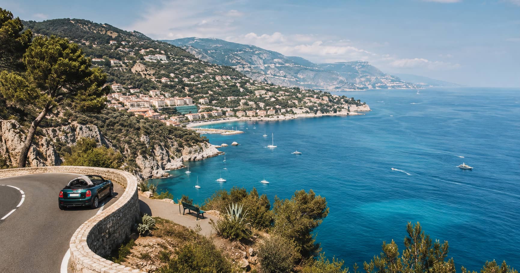
Nice to Monaco Scenic Road Trip
A coastal driving route between Nice and Monaco, with elevated sea views, village stops, parking considerations, and practical route order.
A coastal driving route between Nice and Monaco, with elevated sea views, village stops, parking considerations, and practical route order.
The coast between Nice and Monaco is short, but it contains three very different road levels, steep villages, railway access, and several viewpoints where the Alps meet the Mediterranean. The main planning mistake is trying to drive every corniche in both directions on the same day. Choose the road that fits your priorities, add one village and one coastal stop, and leave enough time for parking and walking.
The Basse Corniche follows the coast and passes beaches, harbors, and railway stations. The Moyenne Corniche climbs to Èze village and provides higher sea views while remaining connected to the main settlements. The Grande Corniche reaches the highest ground and offers broader panoramas, but it feels less directly tied to the waterfront.
The official Nice Côte d’Azur guide explains these three access levels around Èze and lists train, bus, walking, and driving options. Review the official transport guide to Èze before choosing a route. Roadworks and congestion can change the practical order.
Mont Boron and the roads above Villefranche-sur-Mer provide an early overview of the harbor, Cap Ferrat, and the dense coastal settlement. This stop helps explain the route before you enter the narrower sections. Morning light can work well across the bay, while late afternoon may bring stronger side light on the headlands.
Use designated parking and established viewpoints. Residential roads are narrow, and stopping at an unmarked opening can block buses or local traffic. A lower view from the Villefranche waterfront is also worth adding because it shows the scale of the natural harbor from water level.
Saint-Jean-Cap-Ferrat sits on a green peninsula between Villefranche and Beaulieu-sur-Mer. You can photograph it from across the bay, walk part of the coastal path, or visit a harbor viewpoint. Doing all three can consume most of the day. Select the option that adds the greatest visual change from the high corniche views planned later.
A coastal walk gives direct contact with rock, sea, and vegetation, but it is exposed to heat and weather. Check current path conditions and avoid rough sections in unsuitable footwear. If time is limited, a harbor stop or distant view from the road may be enough.
Èze rises on a rocky outcrop above the coast. The official tourism office places the medieval village at around 429 metres and describes views from its upper garden toward the Riviera. The narrow lanes are visually strong, but crowd pressure can make movement slow. Arrive early or later in the day, and do not expect easy parking at peak times.
The Exotic Garden is the structured high viewpoint, while public positions along the Moyenne Corniche reveal the village itself against the sea. These are different images. From inside Èze, you see the coastline. From outside, you see how the settlement occupies the rock.
The path connects Èze-sur-Mer with the hilltop village. It is steep and exposed, and the climb is far more demanding than the short distance suggests. It can work as a one-way route when combined with public transport, but it is not a casual addition to a driving day. Heat, footwear, and the return plan must be considered.
The Grande Corniche departmental park extends across high ground above Èze, La Turbie, and Villefranche-sur-Mer. The official tourism site highlights panoramic views from Fort de la Revère and notes walking paths, parking, and the protected natural setting. See the Grande Corniche park information before visiting.
This is where the road trip gains scale. From high ground, the coast becomes a sequence of capes, settlements, and sea rather than isolated resort towns. Wind can be stronger than at the waterfront, and haze can reduce distant visibility. Use the park only when conditions justify the climb.
La Turbie is a practical final high stop before Monaco. Views from the area place Monaco’s dense development between mountains and sea. A longer lens helps separate the harbor, towers, and surrounding slopes. The settlement also adds historic context, so allow time to walk rather than photographing only from a roadside opening.
Driving into central Monaco immediately after several viewpoint stops can feel visually repetitive. Decide whether your final goal is the elevated city overview or street-level harbor detail. If the high view is the priority, spend less time searching for central parking.
Monaco’s harbor, waterfront roads, and elevated pedestrian routes provide many angles, but traffic and parking can consume time. A train-based continuation may be more efficient if you have already parked elsewhere. The regional railway connects several coastal towns, which also creates a useful alternative to driving the entire route.
This car-and-public-transport balance resembles the approach used for Lake Como without a car. The route improves when transport becomes part of the planning rather than an afterthought.
Start with Mont Boron or Villefranche, continue along the coast to Beaulieu, climb the Moyenne Corniche to Èze, and then choose either the Grande Corniche and La Turbie or a direct descent toward Monaco. Do not attempt all three corniches simply to say you drove them. Their views overlap, and the added traffic reduces time on foot.
The best Nice-to-Monaco road trip uses height selectively. Begin with a harbor, rise to one perched village, take one wide panorama, and end with the dense urban coast. That sequence shows how the Riviera changes from bay to cliff to city without turning a short distance into a full day of repeated roads.