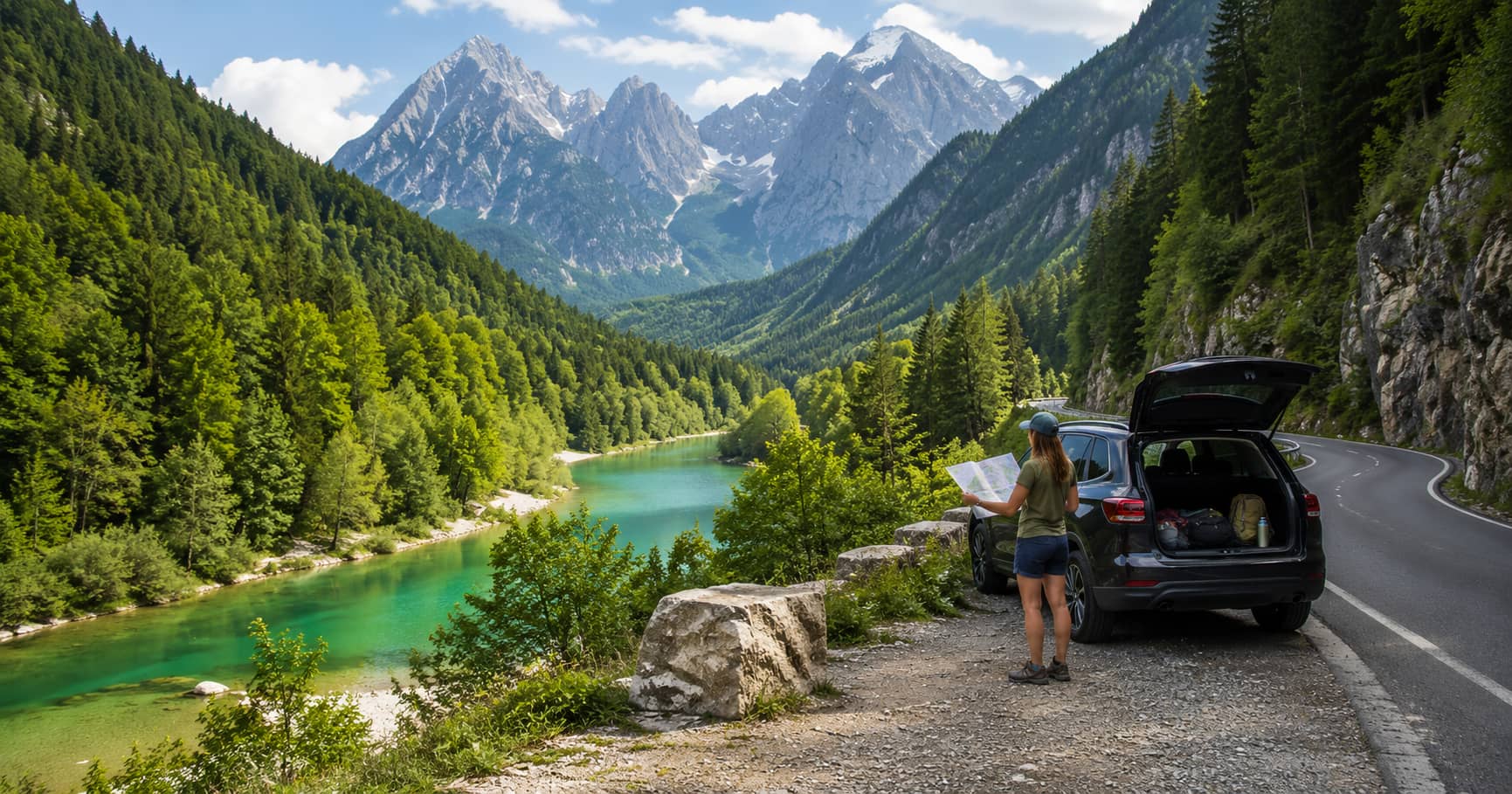
Julian Alps Scenic Road Trip
A scenic driving route through the Julian Alps, connecting mountain passes, lakes, valleys, roadside viewpoints, and practical short stops.
A scenic driving route through the Julian Alps, connecting mountain passes, lakes, valleys, roadside viewpoints, and practical short stops.
The Julian Alps fit a large range of settings into a relatively small part of Slovenia: high passes, glacial lakes, river valleys, forest plateaus, and compact alpine towns. That makes the region tempting to overplan. A map can suggest that Bled, Bohinj, Kranjska Gora, Vršič Pass, and the Soča Valley belong in one fast loop. In practice, mountain roads, seasonal traffic controls, weather, and photo stops make a slower route much more useful.
A one-day road trip should focus either on the northern and eastern side around Kranjska Gora, Bled, and Bohinj, or on the western side around the Soča Valley. Linking both through Vršič Pass can work on a clear summer day, but it turns the route into a long transfer. For travelers mainly interested in views, two days provide a better balance.
The official Slovenian tourism site describes the Julian Alps as a region of high peaks, alpine valleys, rivers, and lakes, including Bled and Bohinj. It also warns that climbing Triglav is a serious undertaking best approached with respect and professional guidance. A scenic driving guide should follow the same principle: accessible views are not a reason to underestimate alpine conditions.
Lake Jasna, just outside Kranjska Gora, is a practical first stop because it combines calm water, mountain reflections, and straightforward access. Early morning offers the best chance of still water and fewer visitors. The view toward Razor and Prisojnik gives the route a clear mountain opening before the road becomes steeper.
Use the shoreline paths rather than photographing only from the nearest parking area. Small changes in position separate the peaks, trees, and lake edge. If cloud hides the high mountains, the lake still works for details and reflections, making it a reliable backup stop.
Vršič reaches 1,611 metres and is the highest road pass in the eastern Julian Alps. The route includes many tight bends and passes the Russian Chapel, mountain huts, and views toward distinctive rock formations. In 2026, Slovenia introduced new visitor-management and mobility measures around the pass, so drivers should not rely on old route descriptions. Check current conditions and traffic arrangements through official Kranjska Gora visitor information before departure.
Do not stop in a bend or assume every roadside opening is a parking space. The pass is shared with cyclists, buses, hikers, and local traffic. Use marked pull-offs and accept that the ideal viewpoint may be unavailable. Mountain safety and traffic flow matter more than a specific frame.
The pass itself is only part of the subject. Hairpin bends, larch trees, mountain huts, and the transition from the Sava valley to the upper Soča terrain help explain the route. Wide lenses are useful for close rock walls, while a longer focal length can isolate ridges and details. Strong midday light can flatten the pale limestone, so side light or broken cloud usually produces better depth.
The western descent changes the visual character of the day. The valley becomes narrower, greener, and more river-focused. Stop only where parking is clearly provided. The upper Soča and Trenta areas offer short paths, suspension bridges, and river access, but water levels and weather affect what is safe.
The Soča’s color is strongest when light reaches the water, yet bright sun can also create harsh reflections. A polarizing filter may help control glare, although turning it too far can make the river look unnatural. The aim is to show the relationship between pale rock, forest, and water rather than exaggerate the color.
Lake Bohinj lies in Triglav National Park and is Slovenia’s largest natural lake. It deserves more than a rushed detour after crossing Vršič. The official Bohinj overview presents it as a base for exploring the Julian Alps, and that is the right way to treat it. Build a separate day around the lake, Ribčev Laz, Stara Fužina, and selected higher views.
If you are continuing an alpine series after an easy Dolomites road trip, Bohinj provides a useful change. The Dolomites route is shaped by exposed passes and dramatic towers. Bohinj feels broader, greener, and more closely tied to the protected lake basin.
Lake Bled is easy to add because it sits near major access roads, but a five-minute stop rarely produces a worthwhile result. The classic island view changes as you move around the shore, and higher viewpoints require steep walking. If Bled is already part of your trip, give it a morning or evening rather than squeezing it between mountain passes.
This also prevents the road trip from becoming visually repetitive. One alpine lake, one high pass, and one river section create a stronger story than three hurried lake stops.
On day one, start in Kranjska Gora, photograph Lake Jasna, cross Vršič only if access and weather are suitable, and continue through Trenta toward Bovec. Spend the afternoon at selected river stops instead of driving all the way back. On day two, choose either the Soča Valley toward Kobarid and Tolmin or return east for Bohinj.
Download offline maps, carry water and warm layers, and check road closures, thunderstorms, and park notices each morning. Summer does not guarantee stable weather at altitude. When cloud covers the pass, use lower lakes and valleys rather than waiting in exposed areas.
The strongest Julian Alps route is not a collection of famous names. It is a visible transition from calm lake water to high mountain road, then down into an emerald river valley. That sequence gives the trip meaning and helps travelers understand where each stop belongs.
Plan fewer locations, verify access on the day, and keep a lower-altitude alternative. The region is compact, but the views deserve time. A good road trip allows the scenery to change gradually instead of turning the mountains into a race between parking areas.